
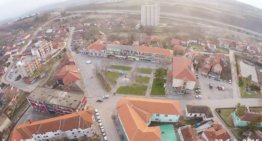
Geographical position

serbia
|
General information |
|
|
Location |
South of Serbia - Jablanica district |
|
Geographical position |
42° 50’ 21’’ N - 21° 34’ 60’’ E |
|
Surface area |
524 km² - 45.1% forest land, 54.9% other |
|
Population (2002) |
10.760 |
|
Number of populated places |
42 |
|
Zip Code |
16240 |
The municipality of Razanj has a favorable geographical position. It is located at the crossroads of Balkan and Carpathian Serbia and the Greater and South pomoravlja. It is surrounded by the municipalities of Krusevac, Aleksinac, Soko Banja, Boljevac, Paracin and Cicevac, with which it is connected by three regional roads. The most important republic road Belgrade-Nis highway passes through its territory. On the northeastern side of Razanj is the mountain Bukovik, and on the northern pass is Mecka. The town of Razanj is located 55 km from Nis towards Belgrade, at an altitude of 264 m.
The Braljina and Djunis railway stations on the Belgrade-Nis line are located west of Razanj, about 10 kilometers away.
The municipality covers an area of 289 km2. Administratively, it belongs to the Nis region, and the municipality itself consists of 23 settlements.